Which Technology Collects Data for Weather, Climate, and Environmental Monitoring From Space?
Satellites serve as the primary technology for collecting data for weather, climate, and environmental monitoring from space. They traverse the Earth in various orbits, equipped with advanced sensors and instruments designed to observe atmospheric, oceanic, and terrestrial phenomena.
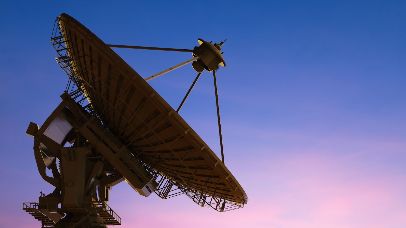
Geostationary Satellites remain fixed over a single point on the equator, orbiting at an altitude of approximately 35,786 kilometers (22,236 miles). This positioning enables continuous monitoring of specific regions, providing real-time data crucial for weather forecasting and severe storm tracking. Examples include NOAA’s GOES series and the European Meteosat satellites.
Polar-orbiting Satellites travel over the Earth from pole to pole at lower altitudes (around 700 to 800 kilometers or 435 to 497 miles). They offer global coverage by passing over different parts of the planet multiple times a day, capturing detailed images and measurements. Notable examples are the NOAA-20 and the MetOp series.
Earth Observing Satellites specialize in monitoring environmental changes and land surface modifications. They include NASA’s Terra and Aqua satellites, which provide essential data on vegetation, soil moisture, and surface temperatures.
Satellite Technology for Weather Monitoring
Geostationary Satellites
Geostationary satellites maintain a fixed position relative to Earth’s surface. Positioned over the equator, they orbit at approximately 35,786 kilometers. NOAA’s GOES series is an example. These satellites provide continuous data for the same area, making them essential for real-time weather tracking and severe storm monitoring.
Polar-Orbiting Satellites
Polar-orbiting satellites travel from pole to pole. They pass over the same point on Earth twice a day, offering comprehensive global coverage. NOAA-20 is a notable example. These satellites collect data on atmospheric conditions, sea surface temperatures, and ice cover, supporting long-term weather forecasting and climate research.
Climate Data Collection Technologies
Passive Sensors
Passive sensors detect natural radiation emitted or reflected by objects, focusing on visible light, infrared radiation, and microwave energy. Instruments like radiometers and spectrometers measure emitted energy from Earth’s surface, atmosphere, and clouds. NASA’s Aqua satellite uses the Atmospheric Infrared Sounder (AIRS) to monitor temperature and humidity profiles. These sensors provide valuable data for climate models and weather forecasting.
Active Sensors
Active sensors emit signals and measure the energy reflected back to the sensor, allowing for precise measurements of surface and atmospheric properties. Radar and lidar are common active sensors on satellites. The ESA’s Sentinel-1 satellite uses synthetic aperture radar (SAR) to monitor Earth’s surface, including soil moisture and forest biomass. These sensors can penetrate clouds and work day and night, offering consistent data regardless of weather conditions.
Satellites equipped with these sensors enhance our understanding of climate change, weather patterns, and environmental dynamics.
Environmental Monitoring Technologies
Passive Remote Sensing
Passive sensors detect natural radiation emitted or reflected by the Earth. Satellites equipped with these sensors capture reflective solar radiation during the day and thermal radiation at night. Examples include:
- Radiometers: Measure visible light and infrared radiation.
- Spectrometers: Detect and analyze specific wavelengths of light, identifying various substances in the atmosphere.
Active Remote Sensing
Active sensors emit their signals to measure reflected energy, providing detailed surface and atmospheric data. Notable examples include:
- Synthetic Aperture Radar (SAR): Used in missions like ESA’s Sentinel-1, SAR provides high-resolution images regardless of weather or daylight conditions.
- LiDAR (Light Detection and Ranging): Measures distance by illuminating the target with laser light and analyzing the reflection, offering precise topographic mapping.
Multispectral and Hyperspectral Imaging
These imaging technologies collect data across multiple spectral bands. They provide insights into land usage, vegetation health, and water quality.
- Multispectral Sensors: Capture data in a few spectral bands, useful for broad observations.
- Hyperspectral Sensors: Collect data in numerous narrow spectral bands, enabling detailed analysis of material composition.
Atmospheric Profiling Instruments
These instruments measure atmospheric properties, contributing to weather forecasting and climate modeling.
- Sounders: Provide vertical profiles of atmospheric temperature, moisture, and gas concentrations.
- Scatterometers: Measure the scattering effects of particles, assisting in wind speed and direction analysis over oceans.